Last week the Museum was a busy busy place (as if this ever changes).
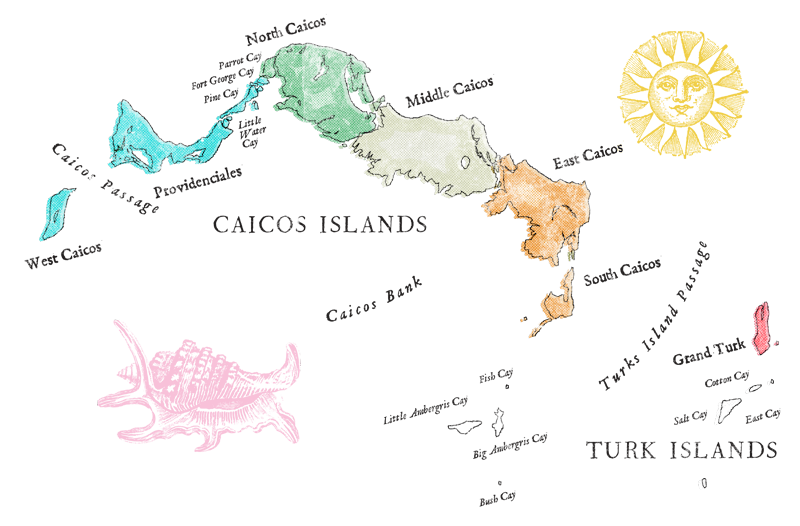
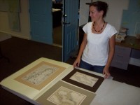 Among the usual whirl of Historic Homes Tours and After School Program visits we also had a visit from some Museum members. They would be leaving Grand Turk for a while and wanted to check up on a loan they’d given to the museum. 3 maps respectively from the 1690’s, 1790’s, and 1830’s.
The map from the 1690’s depicts the Caribbean Islands including the “Isles Turques” and a very distorted Florida state. This map is the oldest that the Museum holds. The others show the Caribbean, the Turks and Caicos and their relation to North and South America. No other map in our collection shows this comprehensive view of the Atlantic World and this member’s collection gives it to us across the decades. After viewing our map collection and how important their pieces were to our collection, the members decided to gift the maps to the Museum and put them in our permanent collection.
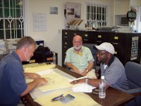 We had an visit from the Provo architects. They were looking at how the Museum’s spaces are used for our daily functions. They spent all day touring the museum, the offices, and the climate controlled storage area. There were plenty of discussions on how optimal space usage should be designed around flexible spaces. It’s exciting to watch a small change of a line on the paper can re-create a room.
We also had a Children’s Club activity: Snorkeling and a Cook Out at the Cruise Center with Oasis Divers. See the Children’s Club Blog for more pictures.
